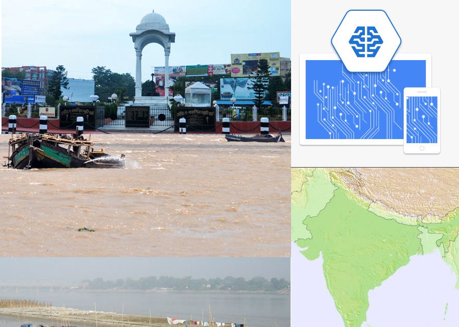
For a long time, we were speculating about the use of machine learning technology for predicting floods. Finally, Google came with something real and practical in this regard. Google Flood Forecasting Initiative has already been formed headed by Sella Nevo, a Machine Learning specialist. He is also credited to be one of the creators of Machine Learning model used in Google Duplex. According to him, Google is all set to speed up such project for predicting natural calamities like a flood in different parts of the globe including India.
The objective
Google Flood Forecasting Initiative was launched to forecast flood more accurately than what other weather forecasting technologies could do in a combined manner as of now.
Why India and especially Patna is chosen for the project?
According to Google, India comes as a natural choice for this pilot project since the negative implications of the flood are huge in an agrarian country like India. Around 20% of flood fatalities globally occur in India. Secondly, Patna is chosen as the location for the project as the city and its surrounding area is more vulnerable to distress caused by the flood.
How Google is willing to scale up the project?
According to Google Flood Forecasting Initiative chief in India Sella Nevo, they get an alert as early as last September from the Central Water Commission regarding an imminent flood. Soon the company sent alert to the people in 1000 square kilometres around Patna and came up with a detailed map indicating the areas to be most affected by flood and areas to be least affected. The result proved to be really excellent as the modelling came out as 90% accurate. Now the initiative, in the same manner, can be applied across other areas including the basins of Ganges and Brahmaputra.
Available government help
According to Sella Nevo, the initiative is collaborating with the Indian government on two aspects. The first regarding sharing of data concerning water level forecasts on the basis of the gauge-to-gauge forecasting system, rain data and previous flood data. Secondly, the initiative is actually trying to boost the already active alert system in place with government organisations like the Central Water Commission.
The challenges ahead
At present using Machine Learning for socially viable projects like this has several challenges on its path. The first challenge is to get precision driven elevation maps. The second big challenge is obviously about dealing with complex computation needs. Lastly, related to these challenges there is also a third challenge. Since high-resolution models require very expensive computation, the initiative has a significant cost burden as well.
The initiative to meet these challenges is actually stressing on making these models more efficient and effective. Instead of the classical finite element solution methods, the initiative is now utilising learning based models. The initiative is also going to incorporate satellite data and images for a more precise estimation of the increase of water level. This is where Machine Learning is playing a crucial role in integrating a whole array of data from different sources including radar data, optical imagery, microwave signals and infrared imagery.
20,954 total views, 4 views today


